Places by region
Destinations across Islamabad, Azad Jammu & Kashmir, Gilgit-Baltistan and Khyber Pakhtunkhwa: valleys, lakes, mountains and the roads between them.
 Beautiful Pakistan
From the peaks of Gilgit-Baltistan to the valleys of Azad Jammu & Kashmir: a visual guide to the country's natural heritage, now with routes, offline maps and live weather for every destination.


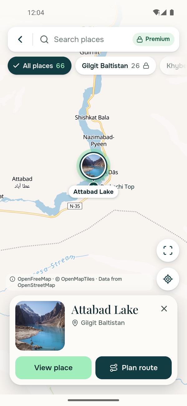
Pick a place and the app plans the way there, from Faisal Mosque or from wherever you are standing.
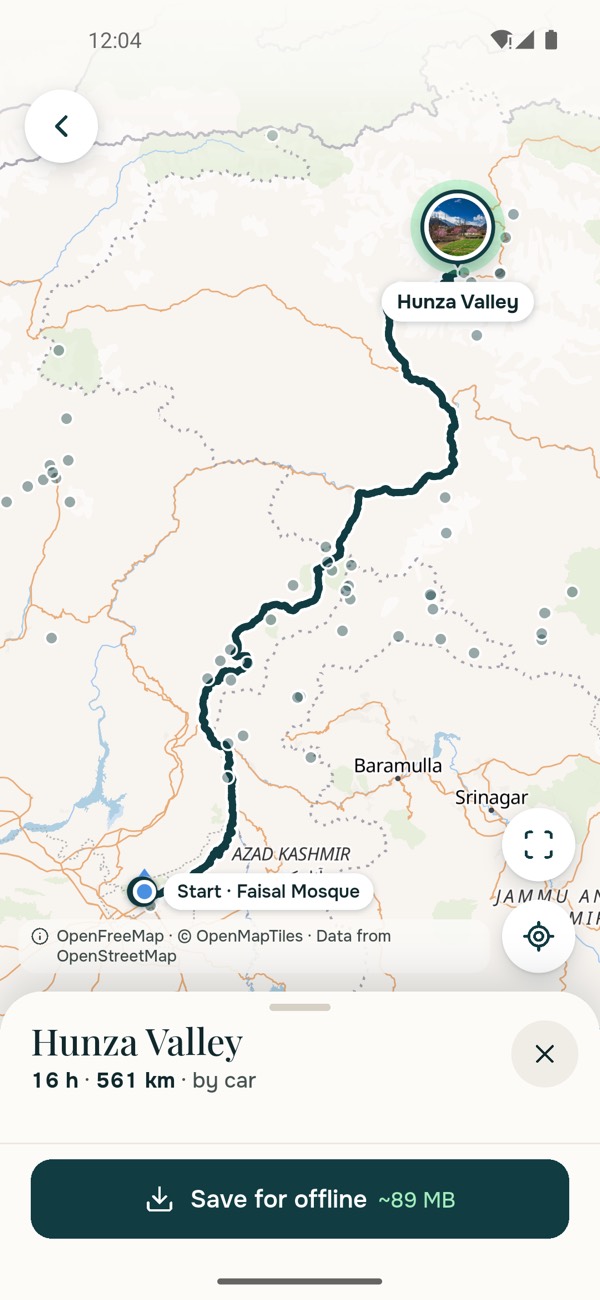
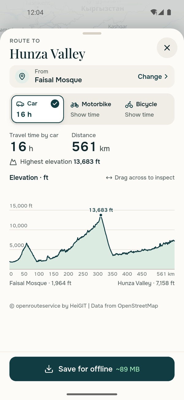
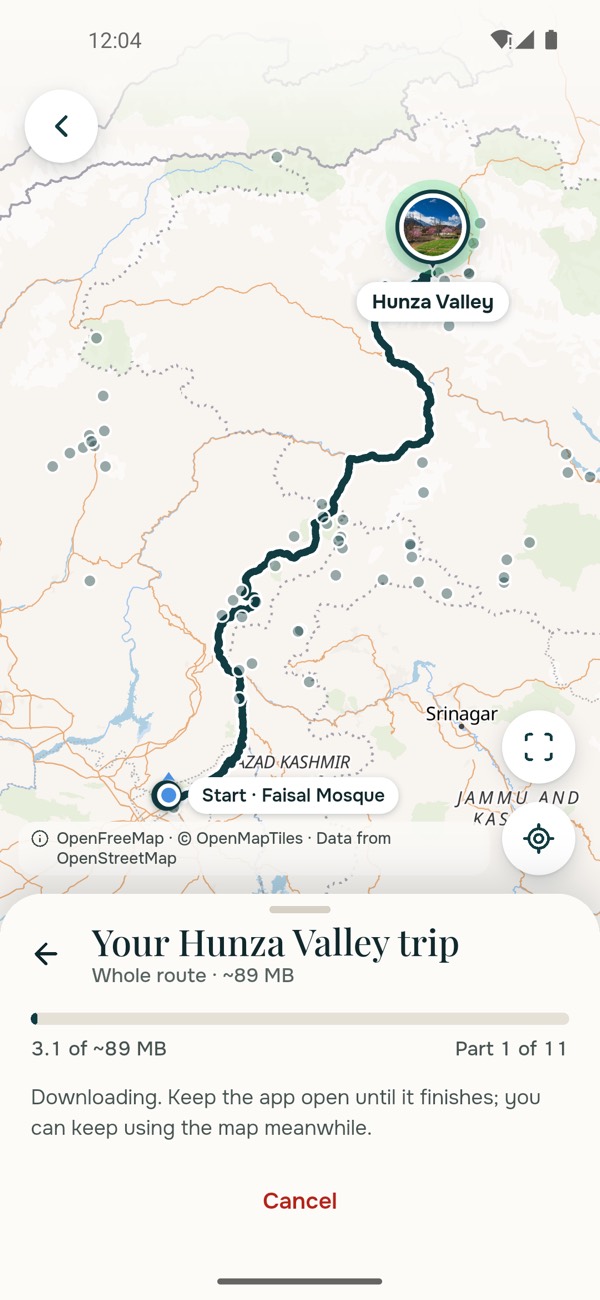
The best places in Pakistan are often where the network ends. Save a trip before you leave and the whole of it travels with you.
Check the sky before you go. Every destination has its own forecast, drawn as a living scene.
Forecast data from MET Norway, shared under CC BY 4.0.
An initiative to show Pakistan's diverse landscapes and wildlife: built for travellers, students, photographers and anyone curious about the country's wild side.
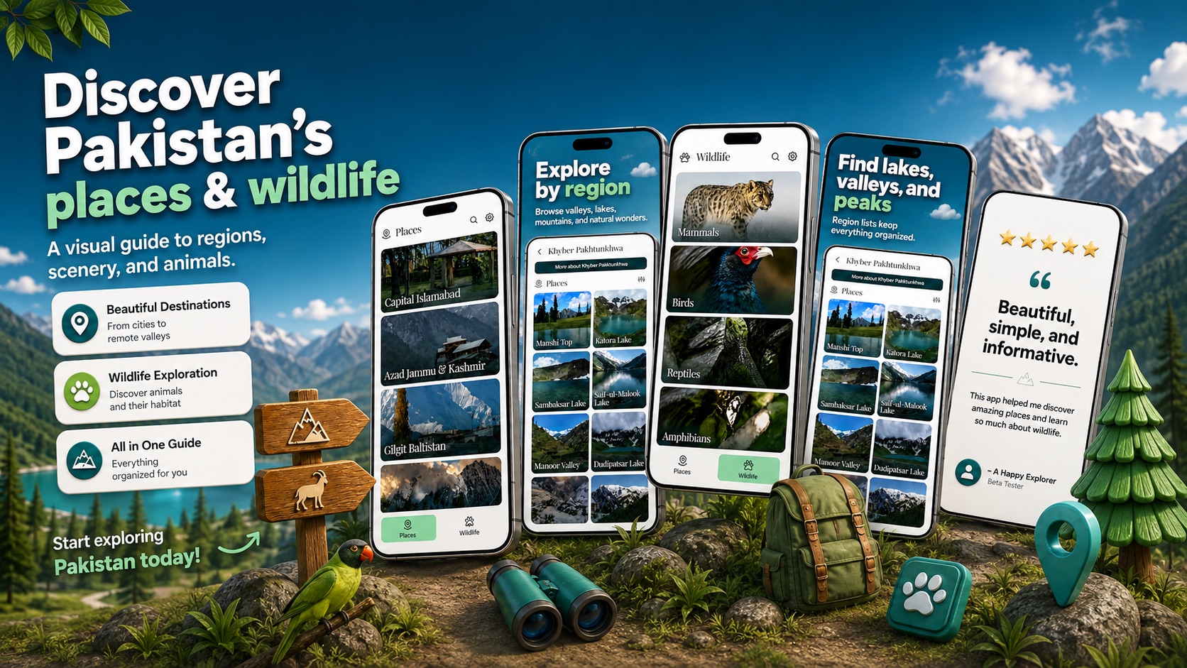
Destinations across Islamabad, Azad Jammu & Kashmir, Gilgit-Baltistan and Khyber Pakhtunkhwa: valleys, lakes, mountains and the roads between them.
Mammals, birds, reptiles and invertebrates, with scientific names, habitat, diet, family and conservation status for each species.
Province, district, elevation and the best time to visit, then a route, an offline map and the forecast when you are ready to travel.
Find any place or species by name, filter places by type and district, and narrow wildlife by conservation status, type, diet or family.
Every place, species, route and forecast reads in either language, set in flowing Nastaliq with a layout that runs right to left.
Every photograph names the person who took it, and licensed imagery carries its full attribution and source.
Not just the menus. Every place, every species and every description is translated, typeset in Nastaliq, with the whole interface mirrored right to left. Switch language any time from Settings.
Free to download on iPhone and Android. New places and species are added regularly.